
How to Follow a Route When the Path Disappears
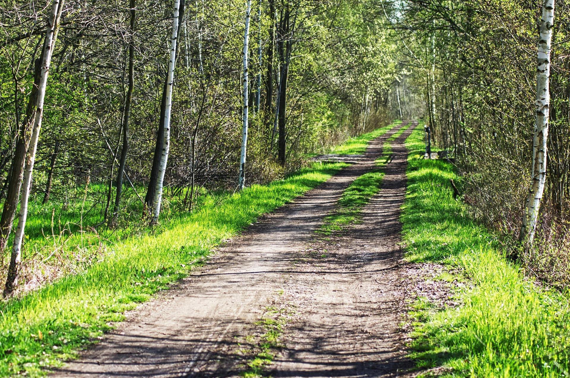
A footpath can disappear without warning. You might reach the edge of a woodland, find that a track has become overgrown, or discover that the route shown on your map is no longer visible on the ground. In open countryside, a clear path can fade into grass, heathland or uneven terrain until you are no longer certain where it continues.
Knowing what to do when this happens is an important navigation skill. The answer is not to keep walking and hope the path reappears. Instead, stop, establish your position, assess the surrounding terrain and decide how to continue safely.
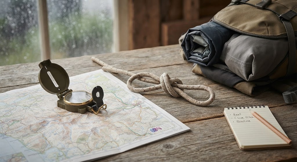
In bushcraft, navigation is about understanding the landscape rather than simply following a line on a map. With a map, compass and a few reliable techniques, you can make sensible decisions even when the obvious route disappears.
Stop Before You Lose Your Bearings
When a path disappears, your first task is to avoid making the situation worse.
It is tempting to carry on in the direction you think the path should take. However, small navigation errors can accumulate, particularly in woodland, mist, darkness or unfamiliar terrain.
Instead, you need to stop somewhere safe and take a moment to assess the situation.
Ask yourself:
- Where did I last know my position with confidence?
- In which direction was the path travelling?
- What features were visible when I last knew where I was?
- Does my map show the path continuing, changing direction or crossing another feature?
- Is the terrain ahead suitable for the route I intended to follow?
Do not assume that the path has necessarily been diverted or that the map is wrong. The path might simply be difficult to see, or you may have passed the point where it changes direction.
If you have other people with you, keep the group together while you assess the situation.
Use Your Map to Re-establish Your Position
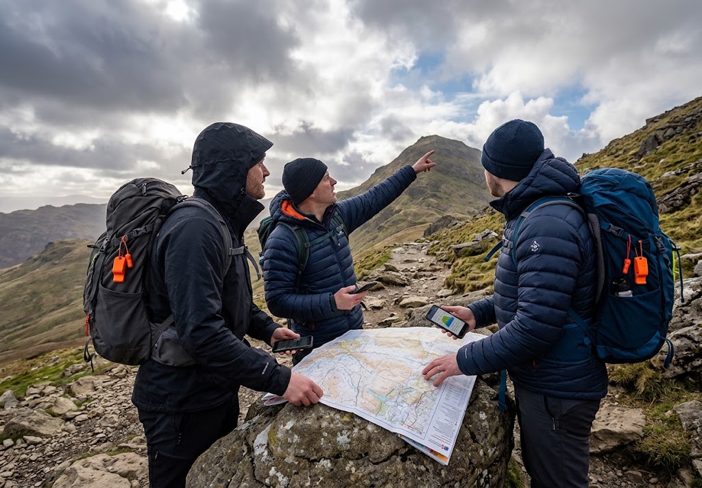
A map is most useful when you can relate its features to the landscape around you.
Start by identifying recognisable features on the map and comparing them with what you can see on the ground. These might include woodland edges, streams, field boundaries, buildings, contour lines, ridges or junctions between tracks.
Look for features that are distinctive rather than relying on a vague impression of where you are.
For example, suppose you were following a path through woodland towards a stream. The path disappears, but you can identify the woodland boundary and see that the stream should be nearby. These features may help you establish your position and work out where the route continues.
Remember that maps may not show every minor path, and paths can become overgrown, diverted or inaccessible. Treat the map as an essential navigation tool, but always compare it with the actual terrain.
Orientate the Map
Orientating a map means aligning it with the surrounding landscape.
If you are using a compass, place it on the map and rotate the map until north on the map corresponds with magnetic north, allowing for the map’s grid-magnetic angle where appropriate.
Once aligned, the features shown on the map should broadly match the directions in which you see them on the ground.
If you do not have a compass, you can sometimes orientate a map by matching clearly identifiable landscape features, but this is less reliable. Do not rely on guesswork when visibility is poor or the consequences of a navigation error could be serious.
Look for the Path Without Wandering
A disappearing path may be just a short distance away. Before choosing a new route, inspect the immediate area.
Look for:
- A faint line through grass or low vegetation.
- A break in bracken, heather or other vegetation.
- A gap in a woodland edge.
- A crossing point over a stream or ditch.
- A track continuing beyond a bend or rise.
- A route that follows a boundary, ridge or other mapped feature.
Changes in vegetation can sometimes suggest where people have walked, but they are not proof that a safe or legitimate path exists.
If you can identify a likely continuation, check it against the map before moving.
Avoid walking backwards and forwards across the landscape searching randomly. Doing so can make it harder to remember your original position and may lead you farther away from the intended route.
If you need to look around a nearby feature, make sure you can return to your starting point. In unfamiliar terrain, mark your position on the map or use a reliable GPS device to help you keep track of where you are.
Use a Compass to Follow a Bearing
If you know where the route should go but cannot see the path, a compass can help you travel in the correct direction.
This is particularly useful in woodland, open moorland or areas where vegetation hides the route.
Taking a Bearing
First, identify your current position on the map and the point you want to reach. This should ideally be a recognisable feature or a section of the route that you can identify confidently.
Place the compass on the map, aligning its direction-of-travel arrow with the line between your current position and your intended destination.
Rotate the compass housing until its orienting lines align with the map’s north-south grid lines, with the housing’s north marking towards map north. Apply the appropriate grid-magnetic correction if required by your map and navigation method.
Then, holding the compass level, turn your body until the magnetic needle aligns with the orienting arrow. The direction-of-travel arrow will indicate the direction to follow.
Before setting off, check the terrain. A direct bearing might lead towards a steep slope, bog, cliff, dense vegetation or watercourse that you cannot cross safely.
If so, choose a safe alternative route and adjust your navigation accordingly.
Walk in Short Stages
Do not simply stare at the compass while walking. Instead, identify a suitable feature ahead that lies on your bearing, such as a distinctive tree, rock or terrain feature.
Walk towards that feature, checking your direction periodically. Once you reach it, take another bearing and select the next feature.
This method helps limit sideways drift, especially where trees or uneven ground make it difficult to maintain a straight line.
In featureless terrain, use shorter stages and check your position more frequently.
Important: A compass bearing tells you a direction, not whether the ground ahead is safe or accessible. Always combine compass work with map reading and observation.
Use Natural Features to Keep Yourself on Track
The landscape itself can help you maintain direction.
Features such as streams, ridges, woodland boundaries and field edges can provide useful reference lines. In navigation, a feature that you deliberately follow to help maintain your position is often called a handrail.
For example, if your intended route crosses an open area and then follows the edge of a wood, the woodland boundary may provide a clearer reference than trying to follow a faint path through the trees.
However, natural features have limitations.
A stream might lead into a steep-sided valley. A ridge might become difficult to cross. A woodland boundary might be fenced or intersected by private land. Never assume that a feature will provide an easy or lawful route simply because it is visible on the map.
Use handrails only when they fit your intended route and the terrain is safe to follow.
Identify Catching Features
A catching feature is a recognisable feature beyond your intended destination that helps alert you if you have travelled too far.
For instance, if you are navigating towards a track that runs just before a stream, the stream may act as a catching feature. Reaching it tells you that you have gone beyond the track or missed the intended crossing.
Choose catching features that are clearly represented on your map and easy to recognise on the ground.
They are particularly useful when navigating across open ground where there are few obvious paths.
What If You Are in Dense Woodland?
Woodland can make navigation difficult because trees restrict visibility and conceal features that would otherwise be easy to recognise.
The temptation is to push straight through until you find a track. This can waste time, damage vegetation and lead you into difficult terrain.
Instead, slow down and work in short stages.
- Stop and establish your last known position.
- Check the map for woodland boundaries, clearings, streams and tracks.
- Identify a safe, achievable destination.
- Take a compass bearing if necessary.
- Select a visible feature ahead and travel towards it.
- Recheck your direction and position regularly.
Do not rely on moss growing on one side of a tree, the direction of branches or other popular natural-navigation shortcuts as dependable substitutes for a compass. Such signs are inconsistent and can be misleading.
If the woodland is too dense to travel through safely, look for a safer alternative route rather than forcing your way through.
What If You Are on Open Moorland or Heathland?
On open ground, a path may disappear into grass, heather or peat. Visibility can also change quickly as mist or low cloud moves in.
The absence of trees may make the landscape appear simple to cross, but subtle changes in height and ground conditions can be difficult to judge.
Check the contour lines on your map and identify the major landforms around you. A shallow valley, rounded hill or ridge can be more useful for navigation than a barely visible track.
Pay particular attention to boggy ground, deep watercourses and steep slopes. Do not descend into a valley simply because it appears to offer a more direct route.
If visibility deteriorates, shorten your navigation stages and take more frequent compass bearings. If you cannot establish your position reliably, stop and reassess rather than continuing into uncertainty.
On exposed ground, cold, wind and rain can make a minor navigation problem increasingly serious. Keep suitable clothing and equipment accessible, and be prepared to turn back or seek a safe route to a known location.
Can You Follow an Old Path or Animal Track?
You may come across a faint line that looks like a path, or a narrow track made by animals moving through vegetation.
Such signs can be useful observations, but they should never automatically be treated as your intended route.
An animal track might lead towards a water source, dense cover or a steep area. An old human path may have fallen out of use or cross land where access is restricted.
Before following any apparent track, ask yourself:
- Does it match the route shown on my map?
- Does it lead towards a feature I recognise?
- Can I travel along it without creating unnecessary risk?
- Am I permitted to be there?
If you cannot answer these questions confidently, use your navigation tools to identify a more reliable route.
The goal is not simply to find something that looks like a path. It is to reach your intended destination safely and responsibly.
When Should You Turn Back?
Turning back is a sound navigation decision, not a failure.
If you cannot establish your position, the terrain is becoming hazardous or your intended route is no longer safe, consider returning to the last point where you knew exactly where you were.
Do this only if you can identify a safe return route. Do not attempt to retrace your steps blindly if you have become seriously disorientated.
If you cannot work out where you are, stop moving and reassess your options. Use your map, compass and any reliable GPS information available. If you are in danger or cannot safely continue, contact the emergency services. In the UK, call 999 or 112 when necessary, and give your best available location information.
Conserve your phone battery, protect yourself from the weather and avoid taking unnecessary risks while trying to find the path.
Practise Before You Need the Skill
Navigation becomes easier when you practise in familiar, relatively low-risk surroundings before attempting it in remote or challenging terrain.
Choose a route with clear landmarks and a map that shows the paths and features you expect to encounter.
During your walk, practise identifying your position, orientating the map and taking short compass bearings. Where access rules and conditions permit, try navigating between two obvious features without relying entirely on a visible path.
You can also practise recognising handrails and catching features. Before starting each section, identify what you expect to encounter and how it will help confirm your position.
Keep the exercises short and straightforward at first. As your confidence grows, practise in less obvious terrain and learn to recognise when conditions make navigation more difficult.
Never deliberately put yourself in a situation where becoming lost could expose you to serious danger.
Final Thoughts
When a path disappears, the most important skill is knowing how to respond calmly and methodically.
Stop, establish your position, check the map and decide on a safe way forward. Use compass bearings, recognisable landscape features and short navigation stages rather than wandering in the hope of finding the path again.
Most importantly, remember that reaching your destination is less important than making a safe decision. A good navigator knows when to continue, when to change the route and when to turn back.
The more you practise these techniques, the less dependent you will become on clearly marked paths—and the more confident you will feel navigating unfamiliar countryside.
🔒Ready to test your survival skills?
Join Pure Bushcraft for free, complete challenges, earn badges and increase your Survival Level.
JOIN FREE →
CRAIG BURR
FOUNDER · PURE BUSHCRAFT
I'm Craig, the person behind Pure Bushcraft. I created Pure Bushcraft because I wanted somewhere people could learn real outdoor skills in a practical, straightforward way — from lighting a fire and tying knots to navigation, campcraft and everything in between.
You can read more about the story behind Pure Bushcraft here as well as our approach here.